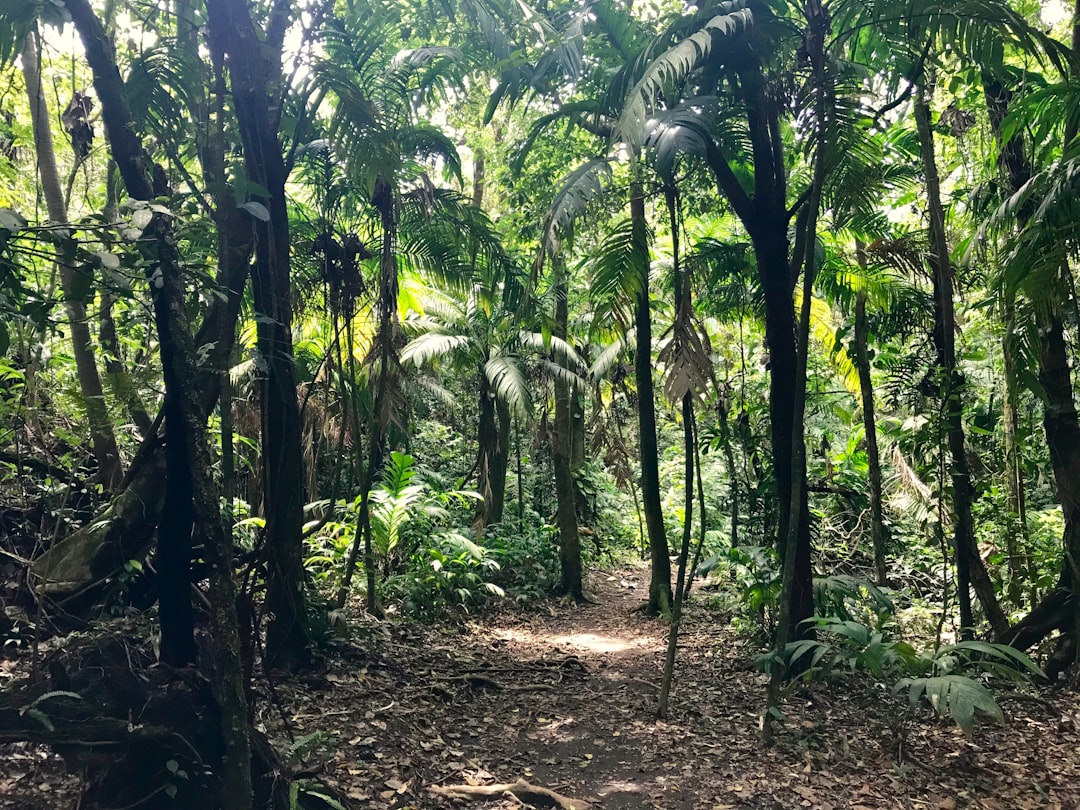
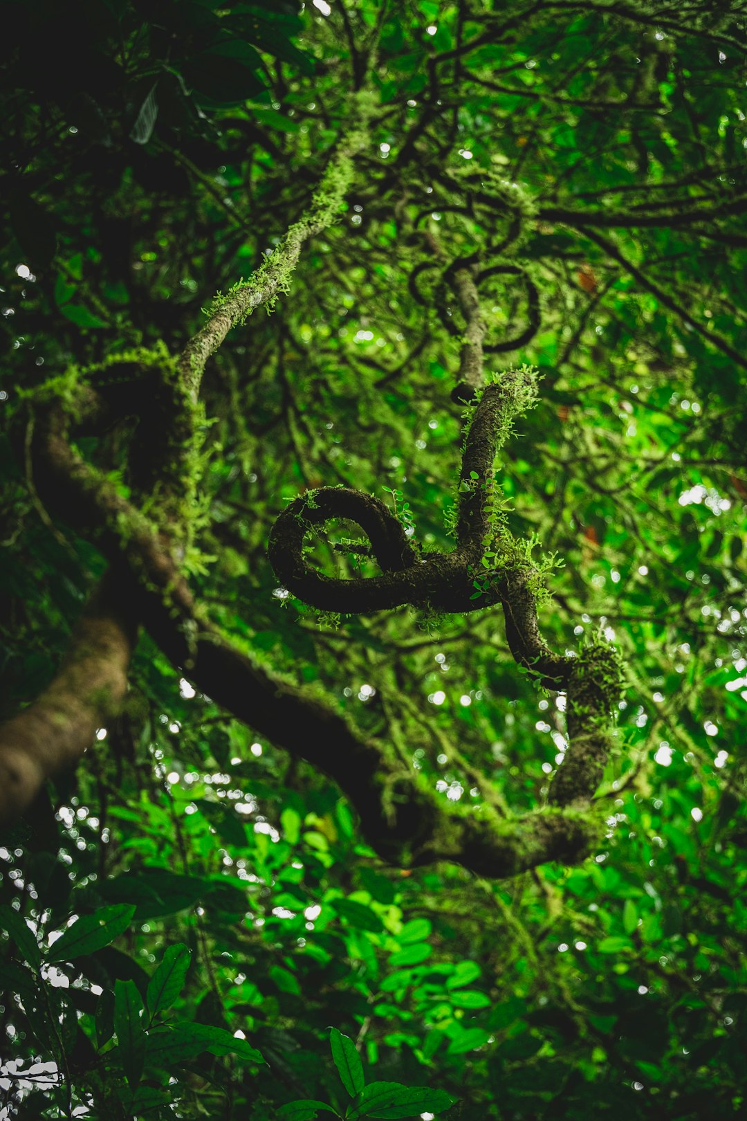
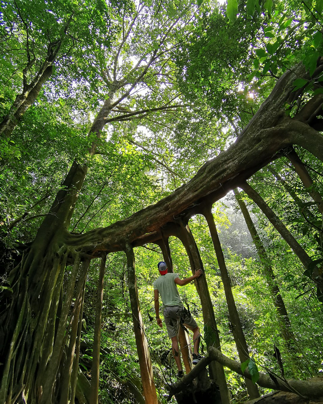
The Best Forest Photo Spots around Alajuela in Costa Rica
Explore Forest pictures of Alajuela with the travel spots on a map
Download the Travel Map of Costa Rica on Google Maps here
8 Forest Spots of Alajuela on a Map
Pictures of Forest on the interacive map of Alajuela
Download On Google Maps 🗺️📲Forest Spots and Pictures around Alajuela
Discover popular destinations in Alajuela with their travel guides
La Fortuna
Read the Travel guide View on Google Maps
Arenal Volcano
5 km away from Alajuela
Read the Travel guide View on Google Maps
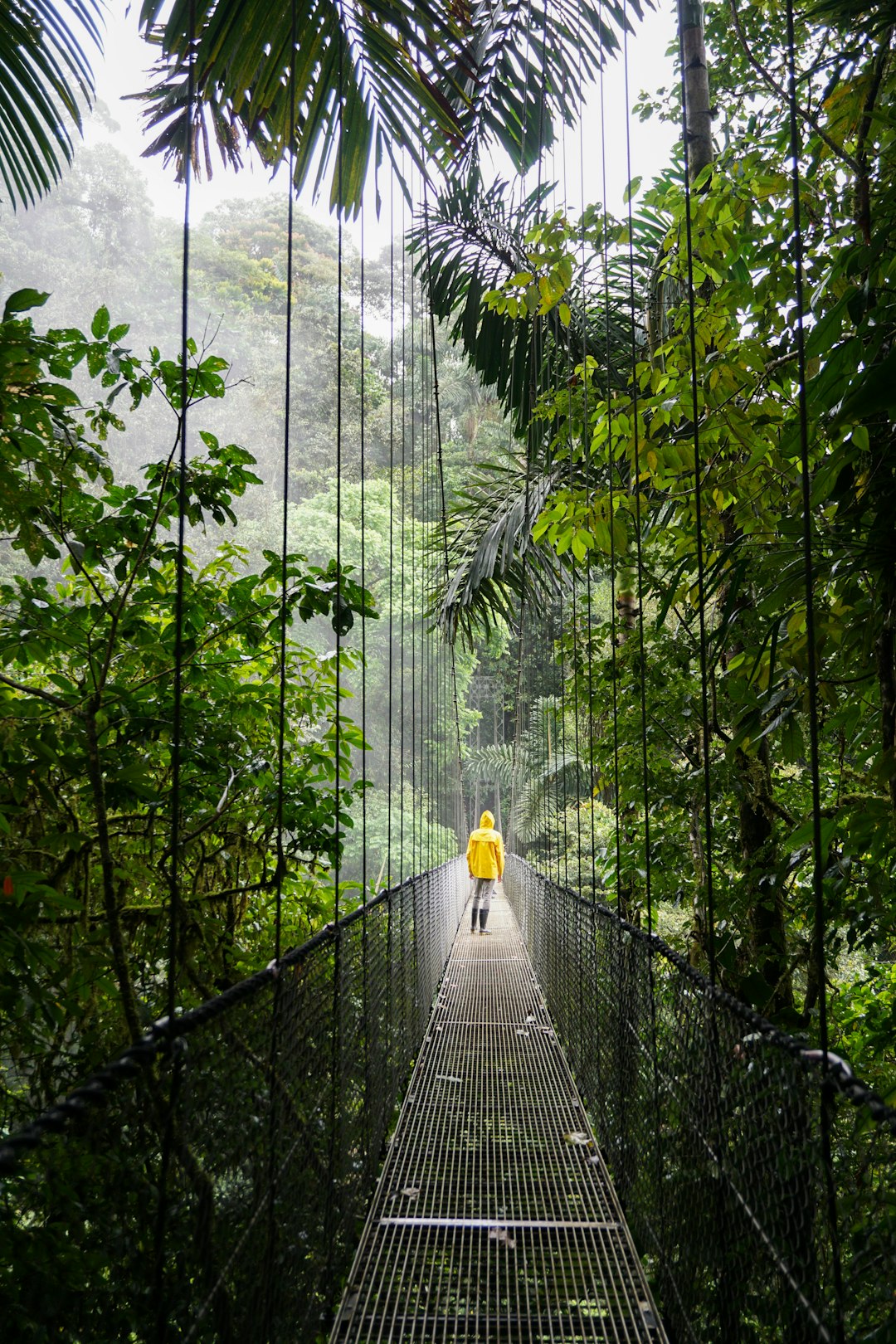
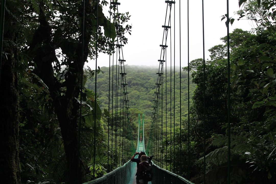
Mistico Arenal Hanging Bridges Park
11 km away from Alajuela
Read the Travel guide View on Google Maps
Puntarenas Province
29 km away from Alajuela
Read the Travel guide View on Google Maps
Provinz Puntarenas
29 km away from Alajuela
Read the Travel guide View on Google Maps
Monteverde
29 km away from Alajuela
Read the Travel guide View on Google Maps
Alajuela Province
64 km away from Alajuela
Read the Travel guide View on Google Maps
Jaco Beach
96 km away from Alajuela
Read the Travel guide View on Google Maps
Book your Travel Experience in Alajuela
Discover the best tours and activities in Alajuela and book your travel experience today with our booking partners
Learn More about Alajuela
Find Hotels in Alajuela
Discover the best hotels around Alajuela, Costa Rica and book your stay today with our booking partner booking.com